San Juan, Puerto Rico
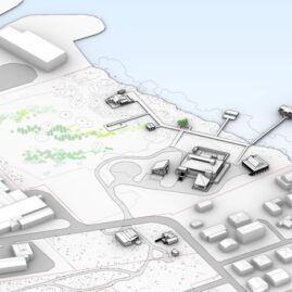
EDD was engaged by a private developer to prepare a comprehensive Hydrologic and Hydraulic (H&H) Model to project flood levels near a proposed development site in San Juan.
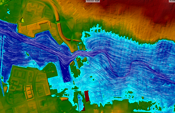
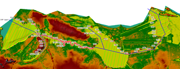
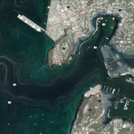
The project partially sits within the AE zone, as designated by the FEMA Flood Maps adopted in 2018, which defines the 100-year floodplain. As such, guidelines from the Puerto Rico Planning Board mandate that the site undergo an H&H study to determine if the proposed buildings cause more than 15 cm increase in flood levels. EDD worked with local partners to establish requirements with the Planning Board, collect data from public and private sources, and model flood conditions in the San Juan Estuary from the San Juan Bay to the Torrecilla Lagoon. Using Arc-Map and HEC-HMS, the EDD modeling team used publicly available land-use and topographic data to delineate 56 sub-catchments within a 50,000 acre watershed. The modeling team then built a 2D model in HEC-RAS to simulate flood levels and hydrodynamics in the heavily urbanized floodplain. The model included both inland (precipitation-based) and marine (storm surge-based) flood scenarios. Results showed that the project would not cause significant impact to flood levels, allowing the project to be submitted to the Planning Board for review.CLIENTS AND PARTNERS
V Architecture
Chasan Group
ECo Design Studio

